I often use Google Maps to map out my future trips.
It’s an extremely useful tool to strategise itineraries and let your friends and family know what your plans are. Also, I really enjoy seeing my trip all neatly mapped. I mustn’t be the only one that gets this weird satisfaction?
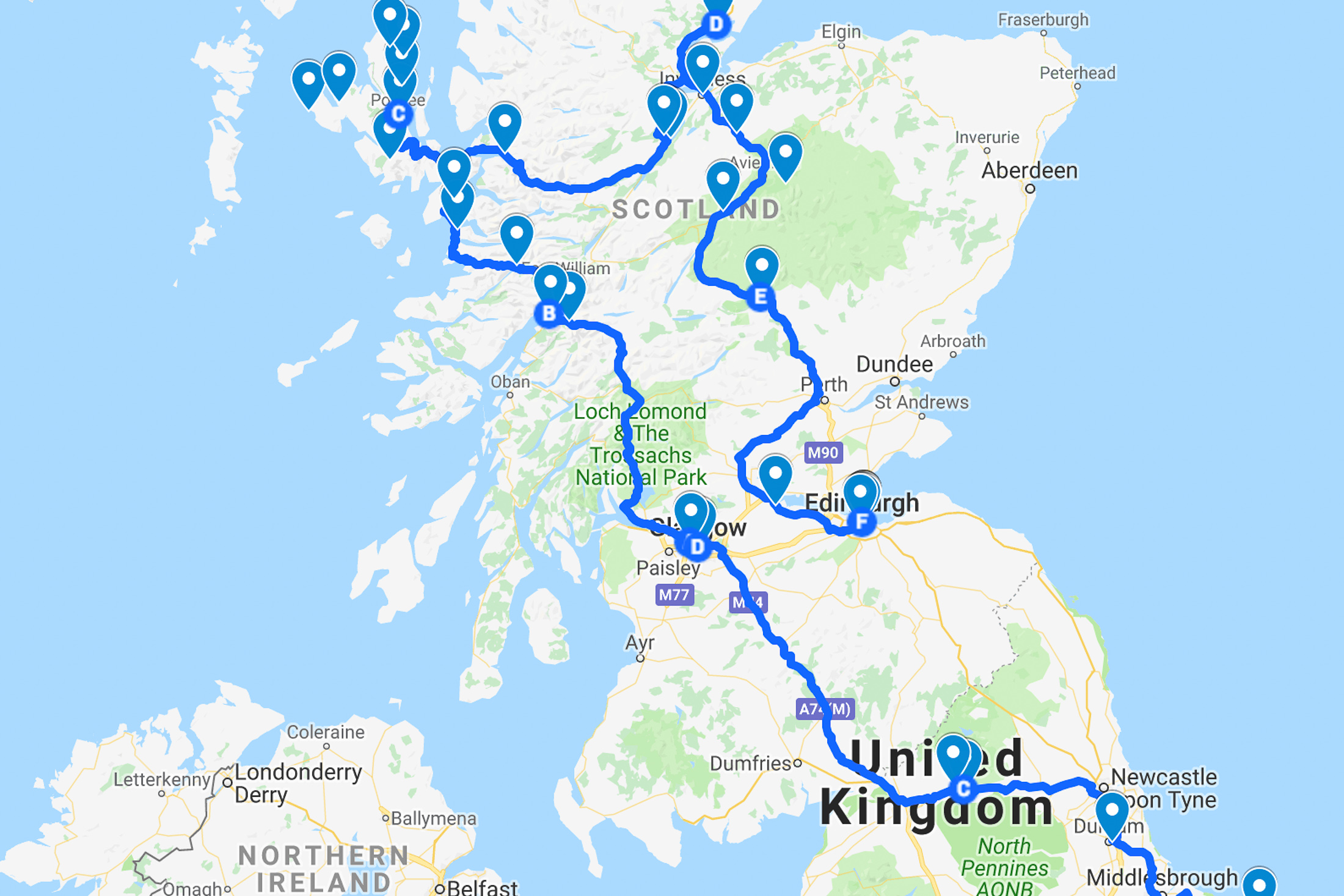
This time around I used maps to decide whether a campervan road trip through Australia was feasible. Robert and I wanted to know what the driving distances would be so that we could work out the cost of fuel for the trip, or whether it would be better to fly between some places (Australia is a damn large country).
I’m going to share how I went about mapping out a trip in a basic step-by-step guide to using Google Maps.
Getting started:


To use Google Maps you must have Gmail or a Google account.
- Open Google Maps and select My Places (1) , then Maps (2).
- Select Create Map, then click on Untitled Map (3) to give your map a name and description.
Maps can have 3 layers of markers (pins), and additional layers for driving directions. Name your layers if you so desire.
How to add markers:


We used the markers to mark the places we could stop at. You could also mark the places you’d like to pass through, or day trips you’d like to do.
- Select the layer (4) you wish to use.
- Use search box (5) to find the places you’d like to add.
- Once you’ve searched for a place, click on the pin icon (6) and select Add to map (7). It will add that place to the layer you have selected.
How to add driving directions:


- Select the Add Directions icon (8) then Add driving route. A new layer will be created.
- Click on the marker of where you would like to start from (9) and then the end point marker (10).


- You can add more destinations by selecting Add destination (11) in the layer. Each layer can have a maximum of 10 stops in the directions. I had to use 2 layers to fit all our stops in.
- Selecting Step-by-step (12) in the layer will let you know the distances and driving times.
How to add lines:

If you don’t want driving directions (for example if you’re flying between places), you can draw straight lines. Lines can go into the same layer as your markers or in their own layer.
- Select the Draw a line icon (13).
- Click your start point (14). I used my markers as points, but you can click anywhere.
- Continue clicking points/markers until you’ve drawn your route.
- To end the line, you need to click twice on the end point (15).
Selecting the line will let you know the distance.
Other handy tools:

- Undo/Redo buttons (16).
- Measure distances (17), use this tool to draw a line and measure the direct distance.
- Changing base map style by selecting Base Map (18) in the layers, and choosing a new style.
And there you have it, an entire round-Australia road trip planned out in a matter of minutes.
We haven’t decided yet whether this trip will go ahead as we discovered the cost of fuel and caravan parks were higher than we’d hoped (and this is why every time we consider travelling within our home country we end up heading overseas. Damn you, expensive Australia) but we’re still looking into ways of making it happen.
Mapping out this possible trip did not take much time, and doing this is better than us overspending because we didn’t work out the costs beforehand. We’ll be doing the same thing for our road trips through the USA in 2015/2016!
Leave a Reply